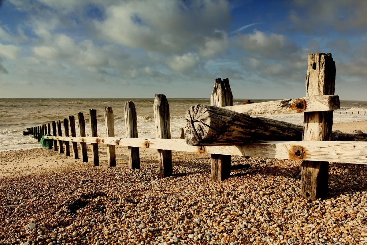
Norfolk's coastline has always been on the move. Some villages recorded in the Domesday Book now lie a few hundred metres out to sea, and the soft cliffs between Happisburgh and Cromer have been shedding land for centuries. What has changed is how much sits in the way: homes, caravan parks, farmland, footpaths, a gas terminal and the wildlife sites that depend on careful water management. Across the county, councils, landowners, conservation bodies and parish groups are working on a mixed answer — some of it engineering, some of it ecology, and a good deal of it simply planning ahead.
Not every stretch of shoreline gets the same treatment, and that is deliberate. Shoreline Management Plans, drawn up by coastal groups and signed off by the Environment Agency, divide the coast into frontages and set a policy for each one over the coming decades. In broad terms there are four options:
Where a policy says no active intervention, it does not mean nobody cares. It means public money is not being spent holding a shoreline that will move anyway, and the practical work shifts to adaptation: moving what can be moved, and planning properly for what cannot.
The mechanics are simpler than the phrase suggests. A sea wall or embankment is breached, lowered or replaced by a new one further inland. The land in between becomes tidal again: mudflat at first, then saltmarsh as sediment settles and plants such as glasswort and cordgrass take hold.
On the north Norfolk coast this approach has been used where freshwater grazing marsh sat behind defences that were becoming ever more expensive to maintain. At RSPB Titchwell Marsh, the sea defences were rebuilt further inland so that freshwater marsh, brackish lagoon and new intertidal habitat could each sit where they are most likely to survive. The result looks messier than a straight line of rock. It also copes better with a storm.
Saltmarsh rarely attracts the attention that sea walls do, but it earns its place. The plants slow the flow of water across the marsh surface, so waves arrive at the shore with less energy behind them. Roots and stems trap sediment, which means a healthy marsh can keep pace with slowly rising sea levels — provided there is enough mud in the water and room for the marsh to move inland.
The creeks and pools along the marsh edge are nursery grounds for fish, feeding grounds for wading birds such as redshank and curlew, and, because marsh soils lock away carbon, a modest but genuine carbon store.
Restoring saltmarsh usually means undoing something. That can involve breaching an old embankment, clearing dumped material, reopening tidal creeks, adjusting grazing so plants are not nibbled down to nothing, or simply leaving a shingle ridge to roll naturally instead of rebuilding it every winter. None of it is quick. A marsh that looks convincing can take decades to form.
Hard defences have their place, particularly where the assets behind them cannot move. The sandscaping scheme at Bacton and Walcott is the county's best-known example: a very large volume of sand was placed on the beach to create a wide, sacrificial buffer protecting both the villages and the gas terminal behind them. The sand is expected to shift and spread along the coast — that is the point — and it will need topping up over time.
Rock walls, revetments and groynes do a different job, and they come with a catch. Anything that pins one stretch of shoreline in place reduces the sediment reaching the next one, so beaches downdrift can narrow and erode faster. That is why defences are planned at the scale of a whole coastal cell rather than parish by parish, and why a scheme that looks like a clear win for one village can create problems for its neighbour. It is also why beach nourishment and marsh creation are increasingly treated as complements to engineering, not replacements for it.
Adaptation is as much about planning policy as it is about shingle. Councils can designate Coastal Change Management Areas, where new development is restricted and any building that is permitted must be capable of being moved or removed. Some local plans set out rollback policies, allowing a property to be relocated landward — often onto land that would not normally get permission. Car parks, beach huts, slipways, footpaths and drainage outfalls are being reconsidered in the same way.
Money and insurance are the harder problem. Homes at risk of erosion are frequently excluded from buildings insurance, because erosion is gradual and predictable rather than an insurable event, and the government-backed flood scheme does not cover it. If you own or are buying property near a soft coast, check the Shoreline Management Plan policy for that frontage, ask the council about erosion mapping and planning designations, and take advice from a solicitor and an insurance broker before committing. That is ordinary due diligence, no different from asking about subsidence or flood risk.
Parish councils along the coast have become de facto adaptation bodies. Their work rarely makes headlines, but it adds up:
None of this stops erosion. It changes what erosion costs.
If you live on or near the Norfolk coast, or you are thinking of buying there, a few habits are worth forming.
For planning, conveyancing or insurance questions, take proper professional advice — the detail varies from one frontage to the next, and general guidance only goes so far. The sea will keep moving. The useful question is not whether the coast changes, but how much is ready when it does.
Photo: InspiredImages / Pixabay